Key Activities
Geospatial Imagery Information
NGII produces a variety of national geospatial imagerythrough high-resolution aerial photograph technology
Orthogonal Imagery DB
NGII builds up the orthogonal imagery DB through the annual aerial photography drone performing orthography and color correction
Services
- Open API: Available after issuing authentication key by registering as authentication user at Geospatial Information Service Platform
- Web Service: Available from Geospatial Information Service Platform
-
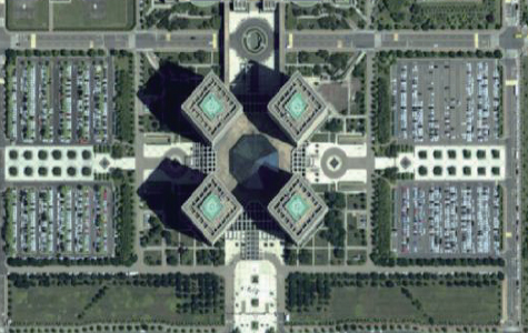
[ The nationwide digital aerial photograph(since 2004) ]
-
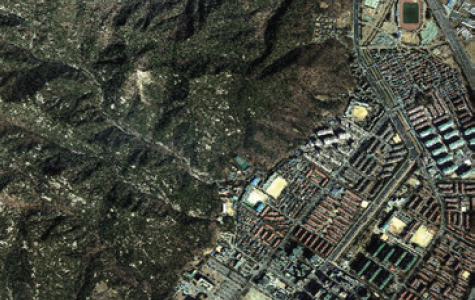
[ The nationwide orthogonal imagery(since 2010) ]