Key Activities
Mapping
NGII lays the foundation for convergence of Various industrial fields through the production of customized maps to serve the diverse needs of people
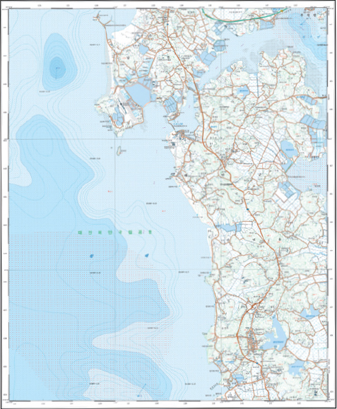
- Topographic Map
- Other Maps
- National Internet Map and Points of Interest (POI)
- Geospatial Information of
North & South Poles - High Definition Road Map
OnMap
Concept maps easy to use by all ages
Providing 1:5,000, 1:25,000, 1:50,000, 1:250,000 scale maps in geo PDF format
Download from Geospatial Information Service Platform (map.ngii.go.kr)
Basic Map of Sea
Producing 1:25,000 scale topographic maps including coastal areas with information on water depth and sediments displayed
World Map
Projection: Producing world maps in Korean using Mercator’s, Robinson, Eckert’s, Winkel Tripel and Goode homolosine projections
Multiple languages: Producing world maps in English, French, Spanish, Portuguese and Arabic using Robinson projection
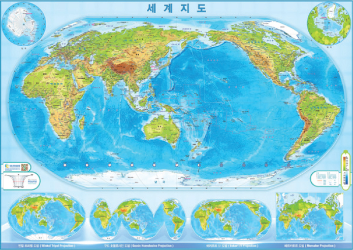
[ Robinson Projection ]
Mapping of North Korea
NGII digitally maps North Korea using satellite image in 1:25,000 scale and major areas of North Korea in 1:5,000 scale
| 1/5,000 | 1/25,000 | 1/50,000 |
|---|---|---|
| 254 sheets | 2,525 sheets | 557 sheets |
Pyongyang
-
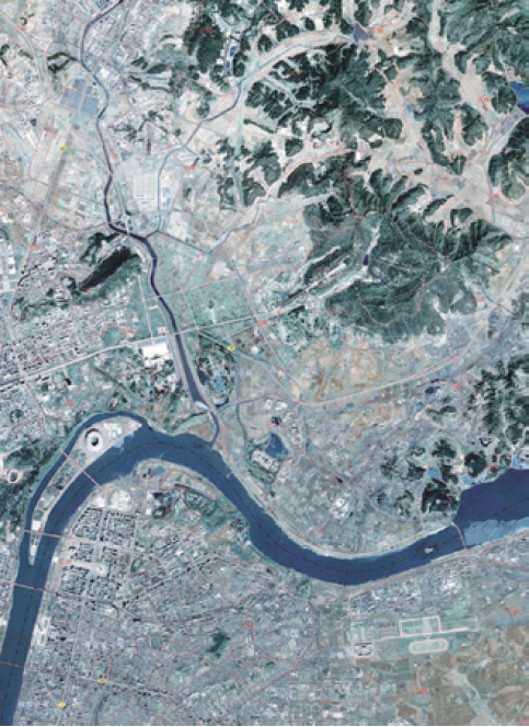
[ Orthogonal Imagery Map ]
-
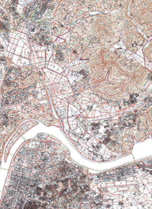
[ 1:25,000-scale Topographic Map ]