Key Activities
Geospatial Imagery Information
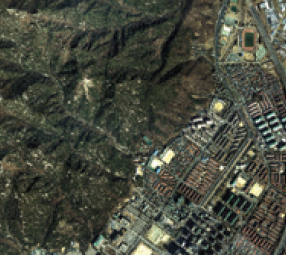
NGII produces a variety of national geospatial imagerythrough high-resolution aerial photograph technology
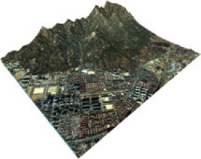
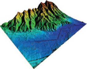
Convergence of Digital Elevation Model and Orthogonal Imagery Map
- obtaining 3D absolute coordinates
- Aerial laser scanning Classification and compilation of geographical features

- Digital Elevation Model
- Digital camera photograph
- Photograph by digital camera Conversion and censorship of digital images
- Orthogonal Imagery
- Three-dimensional topographic information
- Convergence of topograph and imagery data
- Three-dimensional topographic information