Key Activities
Mapping
NGII lays the foundation for convergence of Various industrial fields through the production of customized maps to serve the diverse needs of people
- Topographic Map
- National Internet Map
- Geospatial Information of
North & South Poles - High Definition Road Map
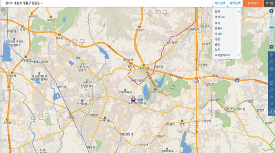
National Internet Map and Points of Interest (POI)
Producing internet maps and POI information from national base map to serve background maps for websites of public and private sectors
No. of POI: 10 million
How to use
- Open API: Available after receiving authentication key by registering as authentication user at Geospatial Information Service Platform
- Free data: Fill out application form → Receive data
- Data request process: Submit application form (email or public document) → examine → offering data
On-Map
Concept maps easy to use by all ages
Providing 1:5,000, 1:25,000, 1:50,000, 1:250,000 scale maps in geo PDF format
Download from Geospatial Information Service Platform
Coastal area base map