Key Activities
National Geodetic Datum
In determining national coordinate reference system, NGII provides high quality information on geodetic surveying
- Korean Geodetic Datum
- National Geodetic Reference Framework
- Space Geodetic Control Point
- CORS(Continuously Operating Reference Stations)
CORS (GNSS observational stations: provision of satellite geodetic service)
Receiving and providing GNSS satellite signals 24/7 to provide autonomous geospatial positioning
60 GNSS control points have been established nationwide since 1995
Providing one-stop national GNSS data service by integrating GNSS CORS separately operated and controlled by eight government departments
-
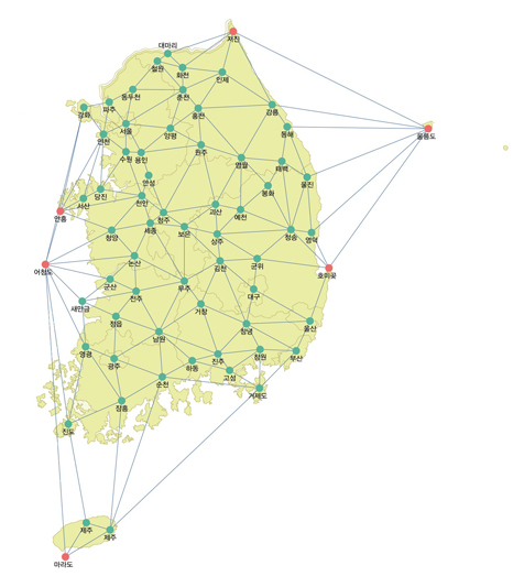
[ Operation of 60 Satellite Control Points ]
-
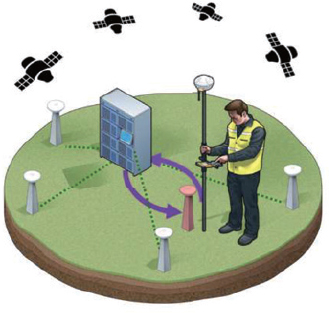
[ Real-time kinematic (RTK) Positioning Services ]
Available after obtaining Network RTK membership at Geospatial Information Service Platform
-
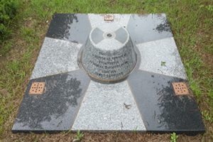
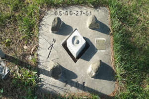
- Unified Control Point
- No. of control points: 4,282
- Information provided: Geodetic and geocentric coordinates, height and gravity value
-
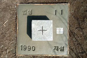
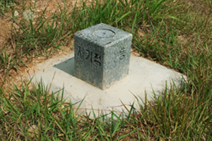
- Triangulation Point
- No. of triangulation points: 16,412
- Information provided: Geodetic and geocentric coordinates
-
- Bench mark
- No. of bench marks: 7,300
(1st grade: 1,141 and 2nd grade: 6,155) - Type of bench mark: 1st or 2nd grade
- Accuracy: 1st grade = ±2.5㎜√S (roundabout) and 2dn grade = ±5.0㎜√S (roundabout)
-

- Gravity Point
- Korean geodetic gravity origin: 979,918.775±0.0001 mgal (located in NGII)
- No. of absolute gravity points: 20
- Use: Establishment of Geoid, etc.
-
- Geomagnetic Point
- No. of geomagnetic points: 30
- Information provided: deflection angle, magnetic dip and horizontal component
- Use: Studying horizontal distribution and secular variation of geomagnetism and regional magnetic anomaly
Post-Processed GNSS Data (RINEX)
Download available from Geospatial Information Service Platform